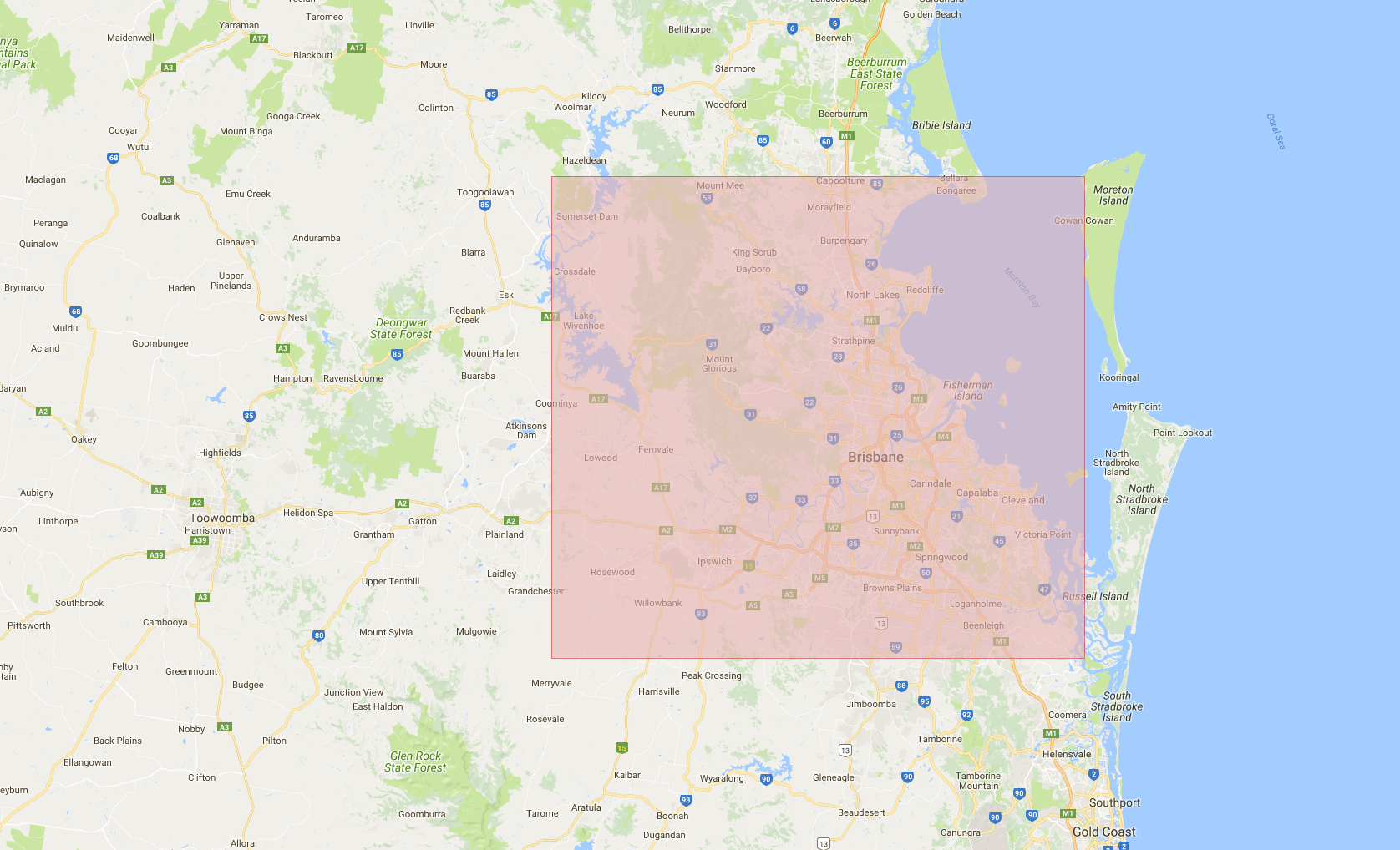
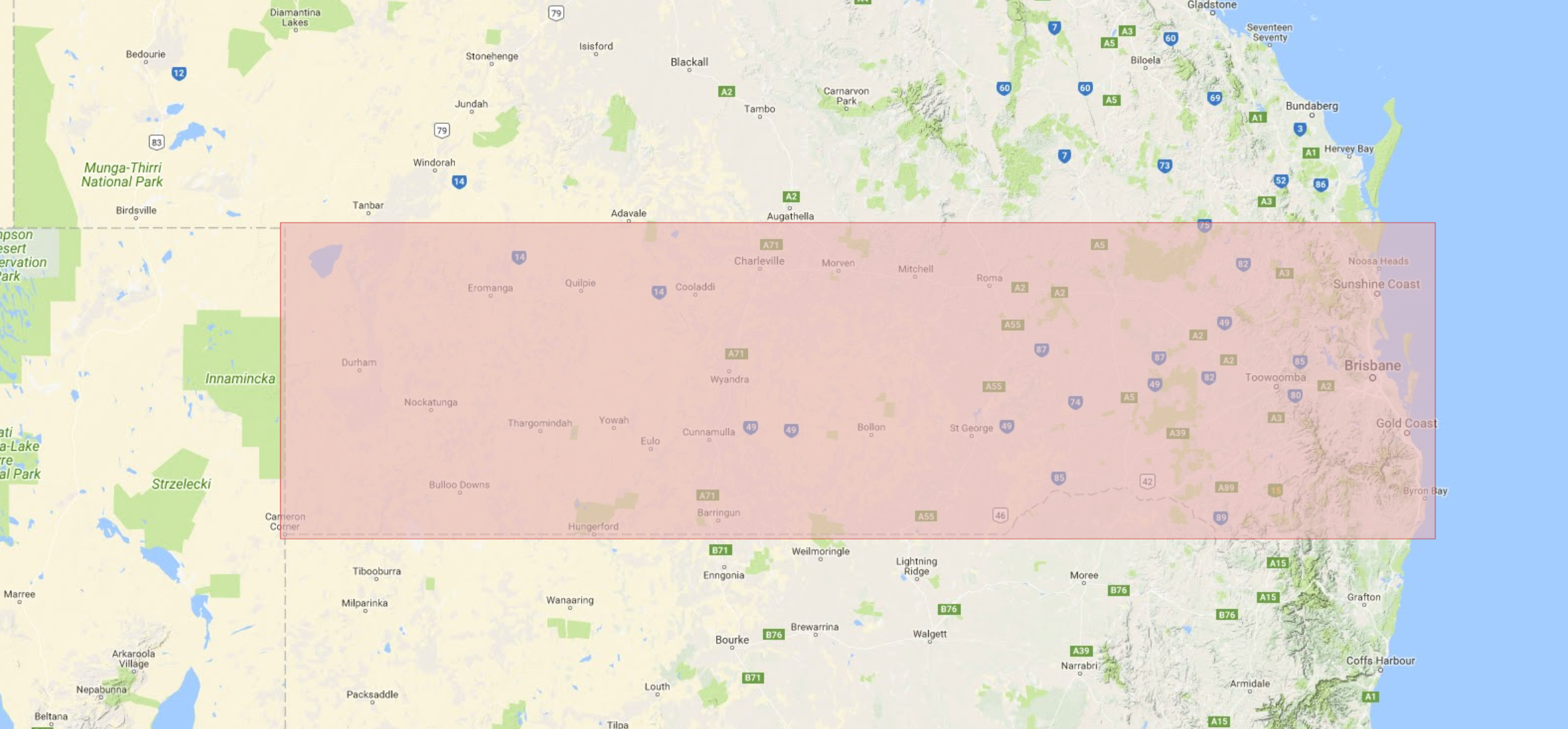
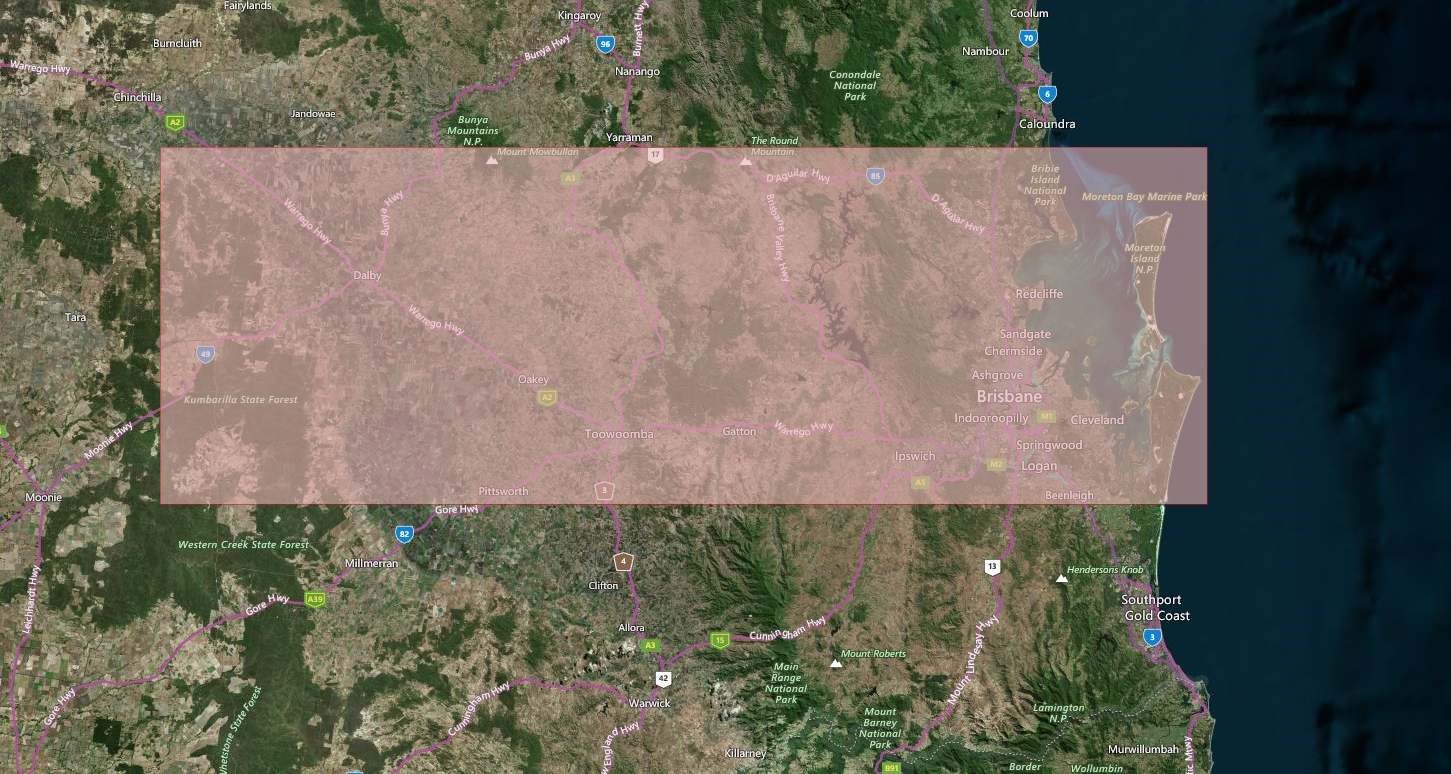
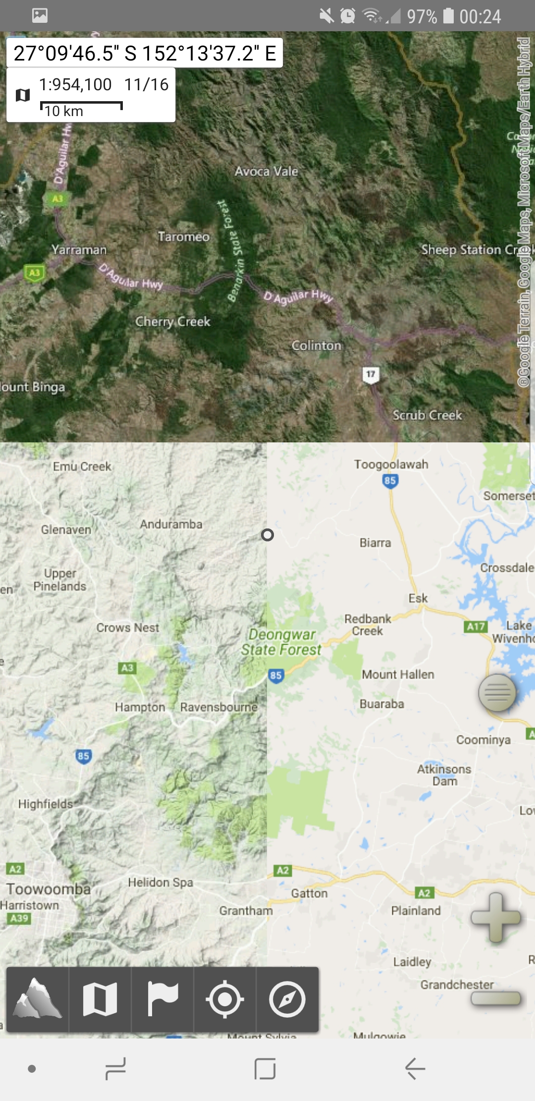
It’s essential for preppers to have a good map they can rely on while bugging out, whether that’s the good old paper maps or something more modern and digital like apps where you can make changes on the go and takes up less space and weight. A digital topographical map is your best bet when venturing into unfamiliar grounds during bugging out as it provides endless features you just can’t get on a paper map, however the most important factor in a digital map is that it must be available offline. Lately I’ve been downloading quite a lot of local maps in a few different mapping styles, such as Google Street Maps, Google Topographic Maps and Microsoft Earth Maps. Each has their own benefits when bugging out which I discuss in more detail below.

Google Street Maps
These maps are generally used for road navigation and turn by turn direction, the Zoom Level of 19 lets you go much deeper than the topographic map to provide a great view of individual house numbering and what sorts of facilities are nearby. These maps are obviously most useful in the cities and pretty useless in the country or other remote locations. They display some great locations such as power and water plants as well as things to avoid such as prisons and detention centers. They could also assist in helping you loot locations in SHTF by knowing where the water treatment plants, police stations and hospitals are that may be tucked away.

Google Topographic Maps
These maps are perfect for hiking as they display the terrain height and how much of an ascent or descent it will be from point to point as well as helping you find local landmarks to assist in the navigation process. The zoom level isn’t as high as the Street Map at Zoom Level 15 but it’s still excellent for hiking with.

Microsoft Earth Maps
The most unique map showing satellite pictures of the landscape from space. This is amazing to find features not shown on the other maps such as small ponds, undiscovered buildings, and even telling what types of trees are in an area! The zoom level is very high and boasts the same level as the Street Maps coming in at Zoom 19. However all this comes at a cost of a greater filesize when downloading areas, I would say that these photo maps are about 6 times the size of the other two.
If you don’t know how the zoom levels work they start at zoom level 1 which is a shot of the entire globe as 9 tiles, then zoom level 2 you have the whole globe at 25 tiles, then level 3 at 81 tiles, level 4 = 289 tiles, level 8 = 66,049 tiles, level 13 = 67,125,249 tiles and level 19 having a whopping 274,878,955,521 tiles! There must be some massive servers out there somewhere to hold that many tiles. This is also why you select a region to download, it would be impossible to download the whole world at level 19! Not to mention you would only use the tiniest percentage of that area and downloading the entire earth would include the majority of ocean and Antarctica which are both useless. Although the struggle as being preppers we need to think of every possibility and this often requires us to download a large amount of area for bugging out and finding new routes if the internet no longer works. Personally I’ve downloaded the entirety of Australia using the Google Topographic Map, but to do this I had to use a rather low zoom level to fit it all in.
My application of choice for downloading tiles is Mobile Atlas Creator 1.8. This version lets me utilize the Google and Microsoft Maps which have been removed from the newer version of the program due to complaints of excessive server usage – which I can definitely see why. I used to have Backcountry Navigator as my go to mapping app which I loved, but it’s more expensive and I couldn’t get any good maps for it, even though it has my favourite map type – QTOPO which is Queensland Topo and the state I live in. QTOPO is even a lot more accurate than Google Topo but alas it wasn’t included in the MOBAC map source list.

There’s a hard download limit of 500,000 tiles in MOBAC as well (in all versions), so if you want a large area you either have to go up a few zoom levels or do multiple separate downloads. You can however select a few areas (less than 500K tiles) to download in one go which helps a little, but this is eventually blocked by another limit if you go over 5 Million tiles or something like that. (I’ve never checked the actual tile limit for that so it could be anywhere from 2 Mil to 10 Mil tiles)
So putting these maps back into Alpine Quest I combine these different layers to create a flexible map which can change based on my location which is very useful. If i’m in a city I pop on the Google Street view for higher detail and when i’m in the country I use the Topo and Earth shots to see what’s around me and the terrain features. The best features I adore about Alpine Quest is the ability to leave waypoints anywhere I desire, mark areas, draw routes, measure distances, measure slope angle, attach pictures to waypoints and even get alerts when you’re in range of a waypoint. Give it a try if you’re looking for a great mapping tool, and try out Backcountry Navigator as well to compare the differences between them and see which one has the features you need.


